Surviving the Cebu earthquake and its aftermath
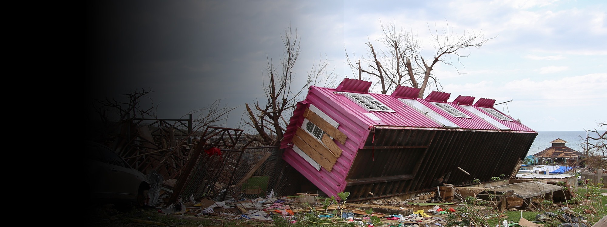
Read how Rochen's family in Cebu are recovering from the 2025 earthquake and how ShelterBox delivered emergency shelter and transitional support to affected communities.

Earthquakes cannot be accurately predicted because scientists are unable to determine the exact time, location and magnitude of a future event. Instead, they use hazard mapping to identify areas at risk and early warning systems to detect earthquakes as they begin, providing valuable seconds to prepare before strong shaking starts.
Currently, no. Scientists can identify areas where earthquakes are more likely to occur, but they cannot accurately predict when a specific earthquake will happen.
To make a prediction, scientists would need a reliable warning sign that consistently appears before an earthquake. Decades of research have investigated possible indicators, including changes in groundwater, radon gas emissions, and animal behaviour. However, none has proved reliable enough to predict when an earthquake will occur.
What scientists can do is assess earthquake risk using seismic monitoring, fault mapping, and historical records. This helps communities better understand where future earthquakes are most likely and how to prepare for them.
Earthquake prediction and earthquake forecasting are often confused, but they describe two different approaches.
Prediction attempts to identify when, where and how strong a specific earthquake will be before it happens. Scientists cannot currently do this.
Forecasting estimates where earthquakes are more likely to occur over time, helping scientists and governments better understand and prepare for risk.
Like forecasts for climate patterns such as El Niño, earthquake forecasts focus on probability rather than certainty. They can estimate the likelihood of future earthquakes, but they cannot identify the exact time, location and magnitude of a specific event.
Scientists use historical earthquake records, active fault lines, GPS measurements and geological studies to identify areas where earthquakes are more likely to occur.
By analysing past earthquakes and monitoring how tectonic plates move, scientists can estimate the likelihood of future earthquakes in a particular region. These forecasts focus on probability rather than certainty.
Earthquake forecasts help inform building standards, infrastructure planning and disaster preparedness. They are also useful after major earthquakes, when scientists can estimate the likelihood of aftershocks in the days, weeks or months that follow.
Scientists cannot identify the exact location of the next earthquake. However, they can identify regions where earthquakes are more likely, particularly along active fault systems and tectonic plate boundaries.
These include countries such as Japan, Indonesia, Türkiye, Chile and New Zealand, as well as parts of the western United States.
Being identified as a higher-risk area does not mean an earthquake is about to happen. It simply means the probability of future earthquakes is greater than in other locations. Level of risk also depends on factors such as population density, building standards, local geology and proximity to the epicentre.
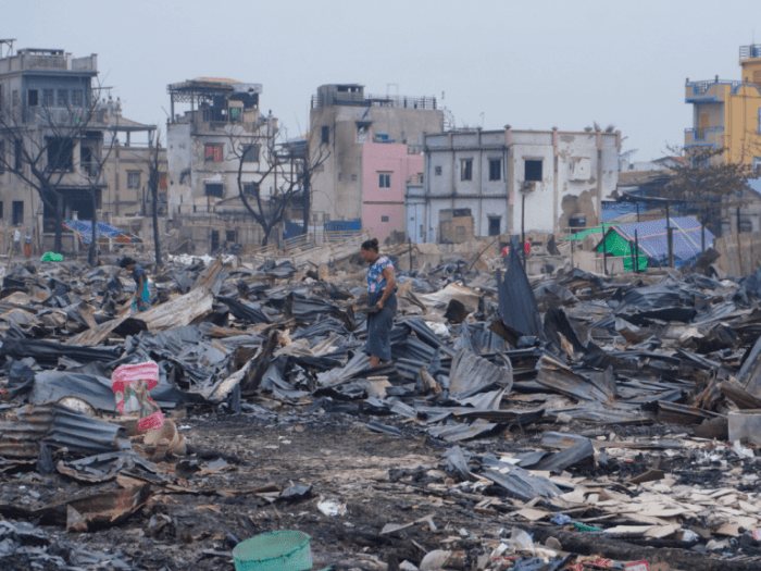
Most earthquakes happen when rocks suddenly move along a crack in the Earth’s crust called a fault. This releases energy that causes the ground to shake.
While scientists understand how earthquakes happen, determining exactly when a fault will move remains extremely difficult. Earthquakes begin deep underground, where conditions cannot be observed directly, so scientists must rely on measurements taken at the surface.
Scientists have spent decades searching for warning signs, known as earthquake precursors, that appear before an earthquake. However, no physical, chemical or biological signal has proved reliable enough to predict when a specific earthquake will happen.
Learn more about earthquakesScientists use networks of sensors to monitor earthquake activity around the world. The most common instruments are seismometers, which detect and record ground movement. GPS stations and satellites also help track shifts in the Earth’s surface.
According to the Geological Society, more than 200,000 earthquakes are recorded each year, and several million are estimated to occur worldwide. However, most are too small to cause damage or be felt by people.
Monitoring helps scientists understand earthquake activity, assess risk and operate early warning systems. However, monitoring is not the same as prediction. Scientists can detect earthquakes once they begin, but they cannot predict them in advance.
Earthquake early warning systems can provide a few seconds to tens of seconds of notice before strong shaking arrives.
While this may not sound like long, it can give people valuable time to take cover and allow critical infrastructure to respond automatically.
These systems do not predict earthquakes. Instead, they detect an earthquake after it has started and rapidly send alerts to nearby communities.
The amount of warning depends on how far a community is from the epicentre. Those closest to the earthquake may receive little or no notice, while those further away may have valuable extra seconds to take protective action.
The search for earthquake warning signs has led to many myths and misconceptions about earthquake prediction. Let’s separate fact from fiction.
No. While some animals may react to environmental changes or vibrations before people notice them, there is no scientific evidence that animals can reliably predict earthquakes. Despite centuries of reports, scientists have not found a consistent behaviour that could be used as a warning sign.
No. Seismometers detect and record ground movement, helping scientists monitor earthquakes and operate early warning systems. However, they cannot predict when a future earthquake will happen.
No. Meteorologists study weather and the atmosphere, while earthquakes are caused by processes deep within the Earth’s crust. There is no proven link between weather patterns and earthquake prediction.
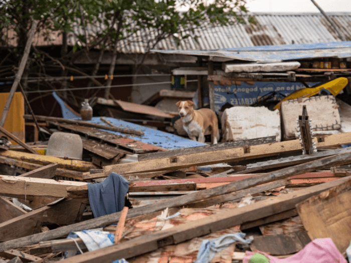
Scientists are exploring new ways to better understand earthquakes, including artificial intelligence (AI), satellite monitoring and advanced sensor networks. These technologies are helping improve our understanding of seismic activity and where future earthquakes may be more likely.
The biggest challenge is not detecting earthquakes. Scientists can identify areas at higher risk and rapidly detect earthquakes once they begin. The challenge is knowing exactly when a fault will move before it happens.
For now, better forecasting and monitoring are helping communities prepare for earthquakes, but accurately predicting a specific event remains out of reach.
Since earthquakes cannot currently be predicted, preparedness remains the most effective way to reduce their impact.
According to the Geological Society, collapsing buildings are the leading cause of earthquake-related deaths and injuries. Therefore, strengthening building standards, improving infrastructure and investing in disaster risk reduction can save lives when earthquakes strike.
Preparedness extends beyond construction. Early warning systems, emergency planning, public education and community training can help people respond more effectively during an emergency.
While scientists continue to improve earthquake forecasting and monitoring, resilience remains one of the most powerful tools for protecting communities in earthquake-prone regions. Knowing how to respond – and having systems in place before disaster – can save lives and support faster recovery.
However, even well-prepared communities can face devastating consequences after a major earthquake. Homes can be destroyed in seconds, leaving families without shelter, safety or a place to rebuild their lives.
When local resources are overwhelmed, humanitarian support becomes critical.
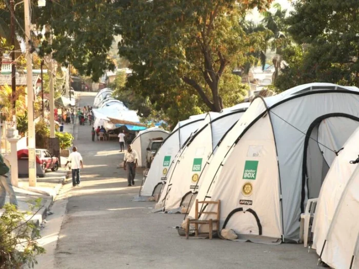
Since our first earthquake response in Gujarat, India in 2001, ShelterBox has responded to over 40 earthquakes and earthquake-triggered tsunamis, supporting more than 500,000 people. This includes one of ShelterBox’s largest earthquake responses following the Haiti earthquake in 2010, when we supported more than 140,000 people after homes and communities were devastated.
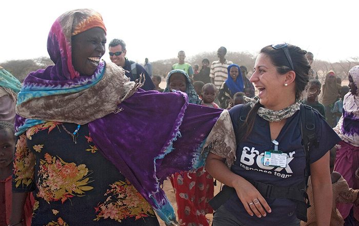
Earthquakes can destroy homes in seconds, leaving families exposed to the elements and uncertain about their future. Depending on local needs, ShelterBox provides emergency shelter, household essentials, solar lights and cash assistance to help people begin their recovery.
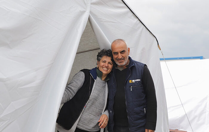
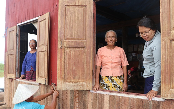
Most recently, ShelterBox has responded to earthquakes in the Philippines, Venezuela, Myanmar and Thailand. By working with local organizations and partners, we help families rebuild after disaster.
An earthquake prediction attempts to identify when and where an earthquake will happen before it occurs. An earthquake warning is issued after an earthquake has already started, providing seconds of notice before stronger shaking arrives.
Japan cannot predict earthquakes. However, it operates one of the world’s most advanced earthquake early warning systems, launched by the Japan Meteorological Agency (JMA) in 2007, which uses a network of seismographs to detect earthquakes as they begin and distribute alerts through television, radio, mobile phones and other public communication channels.
The system estimates the expected intensity of shaking and the arrival time of stronger seismic waves, helping people take protective action. It can also trigger automated safety measures, such as slowing high-speed trains and stopping lifts at the nearest floor. While Japan’s system improves safety and reduces risk, it is important to note that it is an early warning system, not a prediction system.
Not yet. Artificial intelligence (AI) is generating growing interest in earthquake research because it can analyse vast amounts of seismic data more quickly than traditional methods. Researchers are exploring whether AI can identify subtle patterns in seismic activity that would otherwise go unnoticed.
Some studies have produced promising results. In one trial in China, an AI system successfully forecast 70% of earthquakes a week before they happened within a defined region. However, researchers caution that these systems have only been tested in limited settings and have not yet demonstrated the reliability needed for operational earthquake prediction.
For now, AI is more likely to improve earthquake forecasting and risk assessment than provide accurate predictions of individual earthquakes.
No. While there have been reports of unusual bird behaviour before earthquakes, scientists have not found evidence that birds can provide a dependable warning of future seismic activity.
Human activities, including mining, reservoir construction and hydraulic fracturing (fracking), can sometimes trigger small earthquakes, known as induced seismicity. Scientists can monitor these events and identify areas where the risk may increase, but they cannot accurately predict when a specific earthquake will occur.
A seismic hazard map shows the likelihood and potential intensity of earthquake shaking in a particular area. Scientists create these maps using information about past earthquakes, active faults and regional geology. Governments and engineers then use them to guide building regulations, infrastructure projects and disaster planning.
Scientists cannot predict individual aftershocks. However, they can forecast the probability of aftershocks occurring after a major earthquake and estimate how that likelihood may change over time. In general, larger earthquakes are followed by more aftershocks, which can continue for days, months or even years.
Earthquake forecasting has improved significantly over recent decades thanks to advances in seismic monitoring, satellite technology and computing power. Scientists can now better identify areas at risk and improve hazard assessments. However, accurately predicting the exact timing and location of individual earthquakes remains beyond current scientific capabilities.